Product update
Revamped Map Visualizations
We’ve updated the way map visualizations are displayed to make them much more accurate. If you’re using our Google Analytics, GoSquared or Heroku Dataclips integrations or our legacy Custom Widgets, you’ll notice countries and regions now have a much higher-fidelity outline that more accurately represents geographical boundaries.
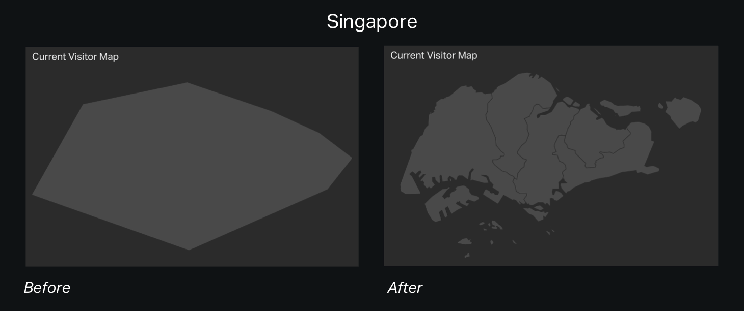
Country maps now support states and provinces, outlining them subtly to provide useful context when looking at a data point.
Finally, data points on a map now scale more intelligently, making maps much more legible when displaying several data points.
Let us know what you think!